The Overland Trail, Yukon
Follow our Arctic Adventures as we drive from Whitehorse to Dawson City—recreating the Overland Trail of the Klondike gold rush days!
The first leg of our arctic adventure this summer required Peter and me to travel from Whitehorse to Dawson City; which, during the Klondike Gold rush era, was by way of the Overland Trail.
Historic Klondike Overland Route From Whitehorse To Dawson City, Yukon
The first gold rush adventurers were 30,000 gold-hungry men, women, and children (who arrived by steamship to Skagway Alaska). In 1898, the naive travellers had to hike from Dyea, Alaska to Whitehorse, Yukon via a Tlingit first nations route called the Chilkoot trail (later the Whitepass Railroad would be the preferred route). This required the travellers to hike over tall mountains in the middle of the Arctic winter! The first hikers in the long line would carve ice steps for the other adventurers to follow. Once in Whitehorse, these weary hikers still had a very long way to go before reaching the heart of the Klondike gold rush: Dawson City, Yukon.
in the early years of the gold rush (1998-1902), all gold rush adventurers had to wait until spring to guide their own homemade boats from Bennett Lake (outside of Whitehorse) to Dawson City as there was no overland route through the deep Yukon snow–not an easy trip as five finger rapids, on the mighty Yukon River, claimed many a boat and life.
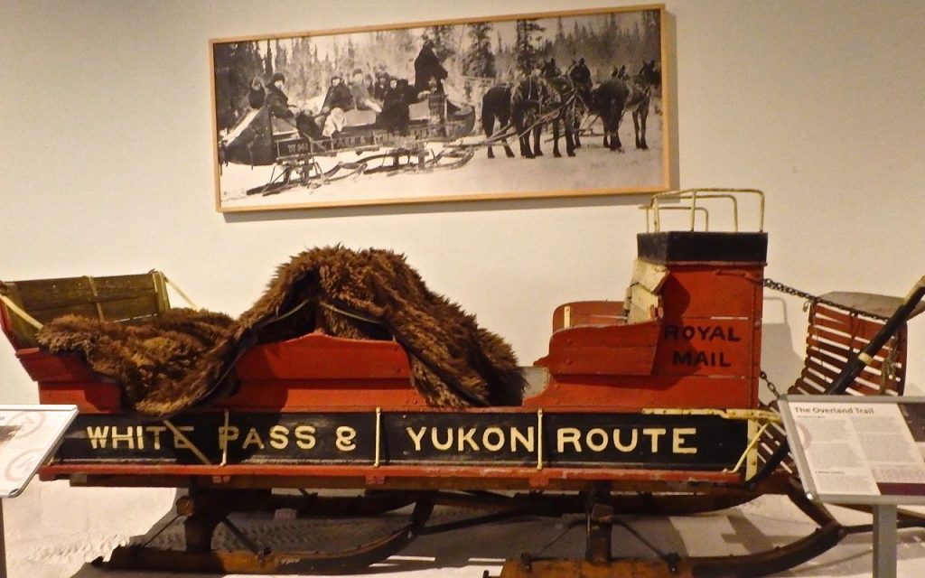
The Overland Trail was created to enable wanna-be gold miners (and mail) to reach Dawson City from Whitehorse (Bennett Lake) during the winter months. In the early years, the Overland Trail was traversed by skinners: big sleighs drawn by four horses and a driver in a ‘coon skin hat. The journey was a chilly one and the passengers stayed warm under buffalo skins and with swigs of whiskey.
Modern Day Overland Route From Whitehorse To Dawson City, Yukon
Our first Arctic destination after arriving in Whitehorse was Dawson City; however, our summer route required no homemade boats and no horses (sigh)—a rented 4WD took us there via the Klondike highway.
However, during our car ride to Dawson City, it was easy to be seduced into the Overland Trail’s fascinating past: Peter and I had been driving for three hours without a break when I saw a sign for Montague Roadhouse up ahead. I grew excited and decided that we needed a toilet break and I’d purchase an iced cold tea to refresh me.
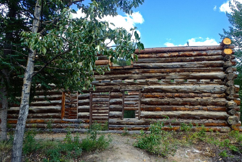
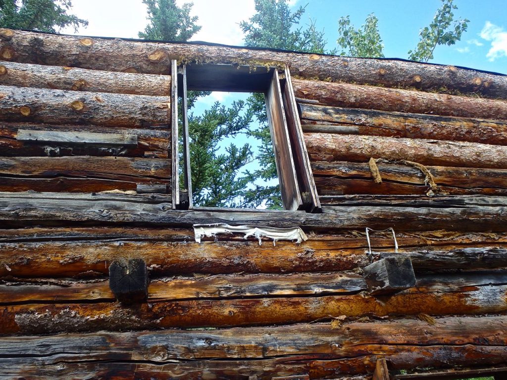
This is Montague Roadhouse:
There was no iced tea to be found; though we did find a bear rummaging around behind the roadhouse and that was our cue to leave without a toilet break!
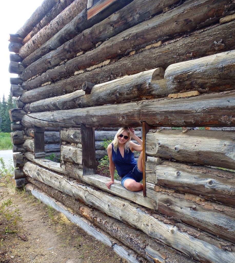
The roadhouse was fascinating–used by skinners to stop and rest en route to and from Dawson City–the roadhouse had a restaurant and bar on main and then beds for the night above–single women didn’t travel north very often in the day as the roadhouse was equipped with single bunks for men and then a few rooms for couples.
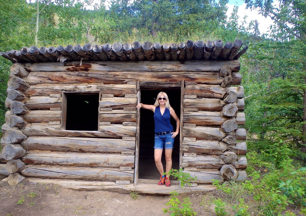
I hope you enjoy a few pictures from our re-creation of the Overland Klondike route to Dawson City.
We spotted two red foxes on our journey: one in a brilliant fire-red coat and the other in black-cross coat (fire-red legs with a black stripe down back and across shoulders)–foxes were too swift to take pics 🙁
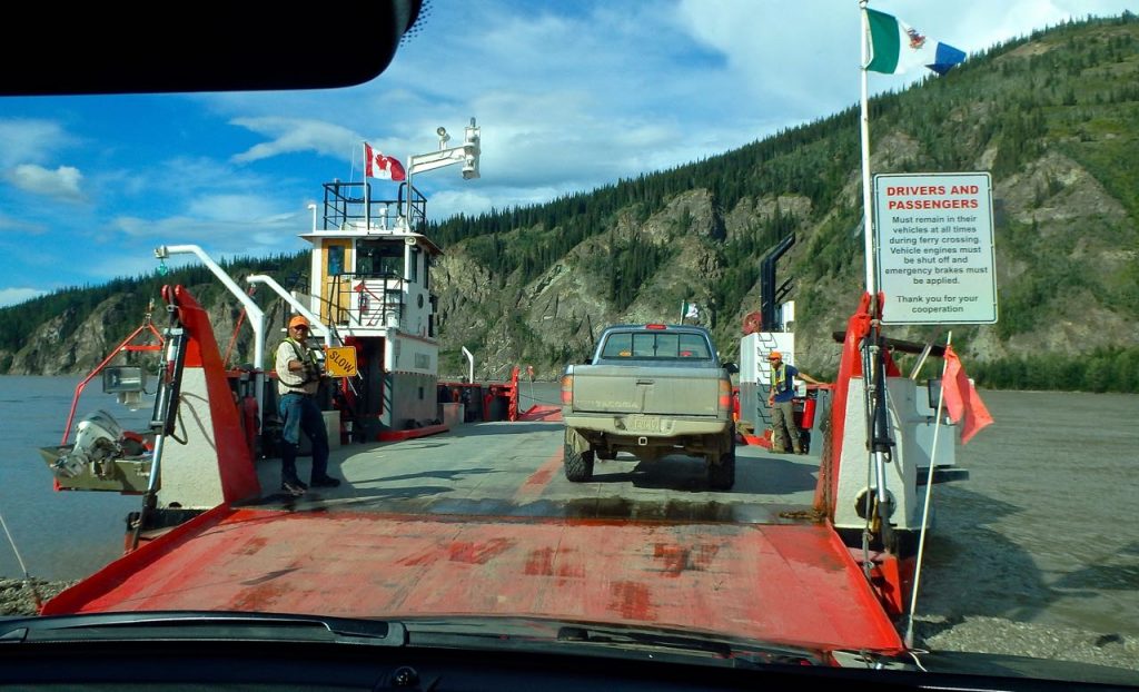
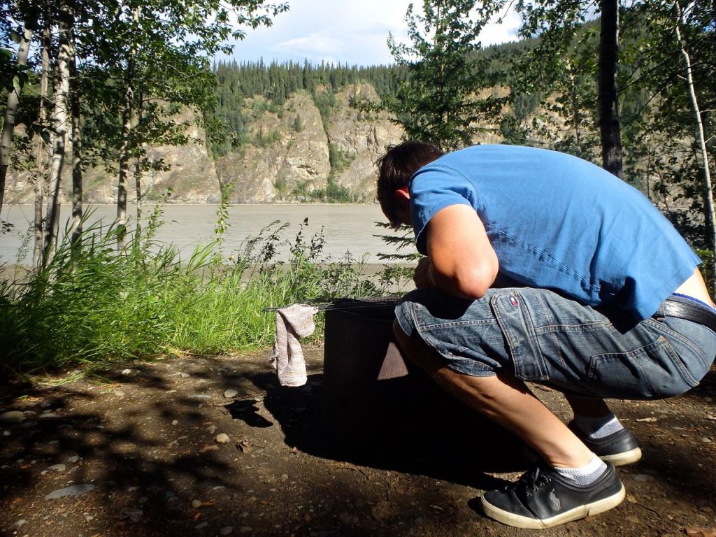
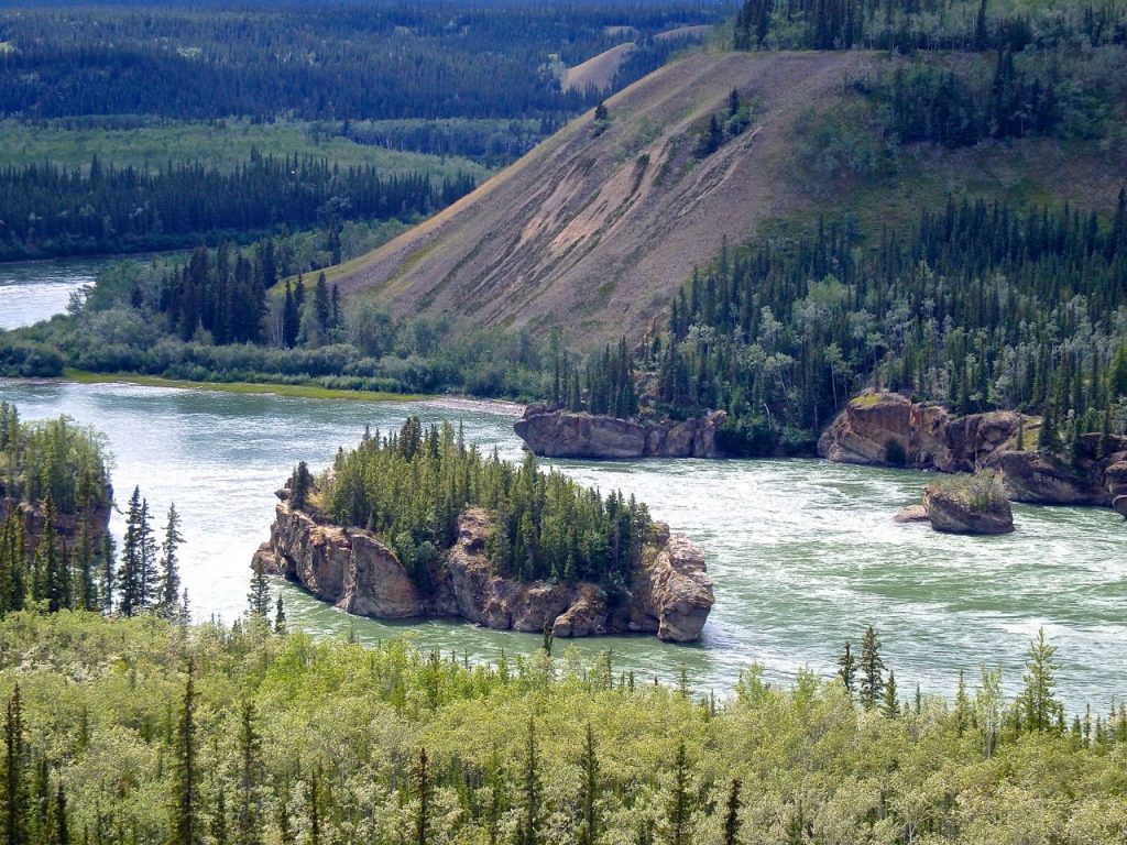
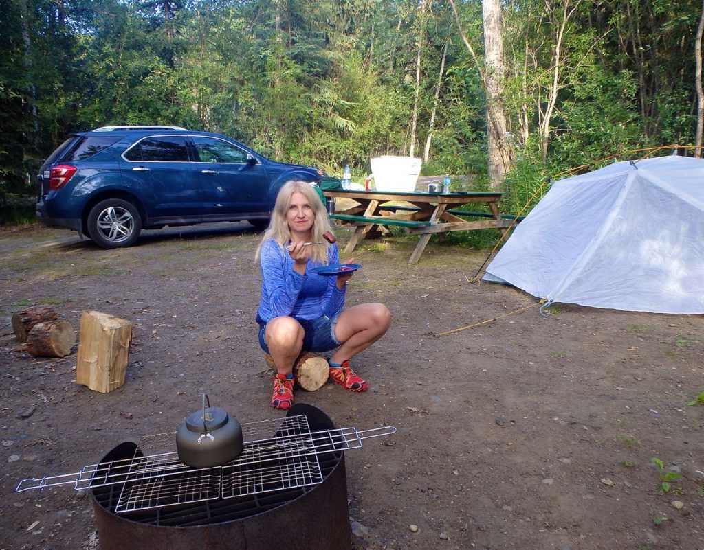
We arrived in Dawson and drove right through to the banks of the Yukon River where a 24h river ferry took us across the deep, cold, wide and fast Yukon River to our campground for the night. The campground was directly on the banks of the Yukon River–tall canyon like cliffs on the opposite bank provided a stunning camping backdrop.
Check back for more blog posts that follow our Arctic adventures this summer!


Leave a Reply